With temperatures dropping and winter approaching, we’re excited to announce the addition of two new variables to our weather API. You can now accurately identify whether the precipitation forecast for the coming days will be rain or snow.
How to use these new variables?
Simply query the following variables:
- mtrr (mean total rain rate)
- mtsr (mean total snow rate)
- Along with their associated quantiles (e.g., mtrr_p10 or mtsr_p80)
Be sure to check out our API documentation to seamlessly integrate these new variables into your applications!
The challenges of separating rain and snow
At first glance, this change might seem simple to implement, but it involves certain technical challenges. When it comes to generating multi-model and probabilistic forecasts, particularly in mountainous areas, we are indeed faced with two difficulties:
1. The resolution of weather models
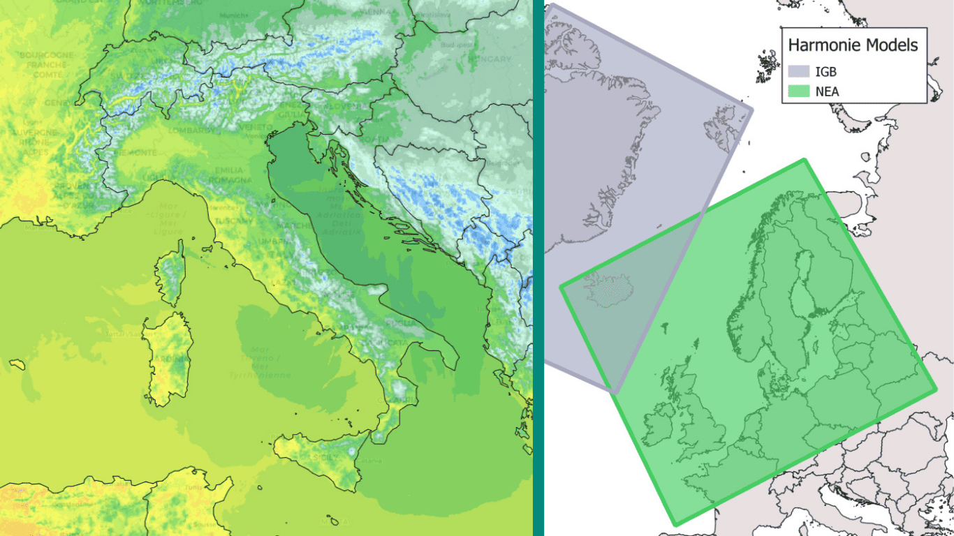
Each weather model has its own spatial resolution, generally ranging from 1 and 25 km. In mountainous areas, where altitude varies greatly over short distances, low-resolution models struggle to accurately simulate complex topography. This makes it difficult to forecast fluctuations in the rain/snow line between peaks and steep valleys.
2. The difficult post-processing of probabilistic forecasts
FROGCAST’s algorithms already make it possible to correct the temperature and adapt to high-resolution topographic data (90 m). However, how can probabilistic precipitation forecasts be converted into rain and snow without introducing errors?
There is no direct match between, for example, a P10 precipitation quantile and the corresponding temperature quantile. Two models may well predict the same amount of precipitation, but very different temperatures — one well above freezing, the other below this threshold.
This lack of direct quantile correspondence complicates post-processing and required us to develop a tailored approach.
Our approach
The developments combine physical and statistical approaches to accurately separate liquid precipitation from solid precipitation after projecting temperature forecasts, onto a topography with a resolution of 90 m. The results make it possible to predict snowfall probabilistically by accurately estimating the rain/snow line.
A concrete use case: The French Alps
The following curves show the temperature, rain, and snow forecasts for three points in the French Alps, located a few kilometers apart in an area with complex topography.
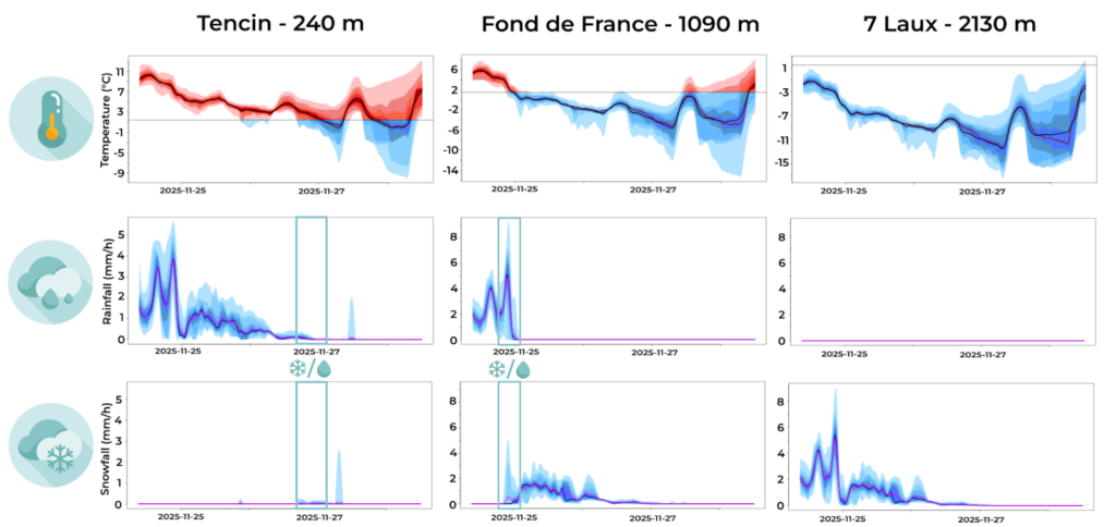
On November 24th, the weather forecast shows a very active undulating front with a rain/snow line that is initially quite high (around 1,600 m) before a gradual drop in the 0°C isotherm.
What the forecasts reveal
The separation between rain and snow allows us to predict:
- In Fond de France, the gradual arrival of snow is expected in the middle of the night on November 25th. Uncertainty about the precise timing of the arrival of cold air and disagreements between models became apparent in the late evening of November 24th, where both rain and snow variables showed non-zero values.
- At higher altitudes (7 Laux), all precipitation will be in the form of snow from the very beginning of the event.
- In the valley, precipitation will remain in the form of rain for most of the event.
- In Tencin, by the late evening of November 26th, the final showers associated with the disturbance were forecast as rain by some models and snow by others, perfectly illustrating the value of a probabilistic approach.
To learn more about how our forecasts are generated, visit this page. You can also explore all the technical details and features of our predictions here.